· Unity · Interactive Design · 1 min read
Building an Interactive Map of Salento with Unity
A large multi-touch map built with Swipe Story for an exhibition at Brindisi Airport.
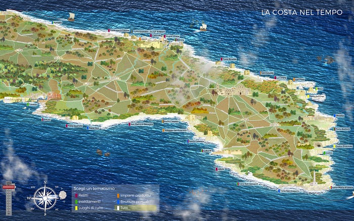
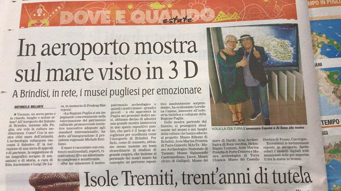
I would like to share a short account of a recent project created with the Swipe Story team using Unity. It was built for the annual Nel mare dell'intimità exhibition, displayed across several locations at Brindisi Airport.
We created an interactive map of ancient Salento with several real-time features:
- visitors could adjust the direction and strength of the wind, dynamically changing the sea;
- ship routes were controlled with Bézier curves, including the ability to make vessels circumnavigate the map;
- video, image, and text panels could be created and positioned as responsive real-time content;
- visitors could drag and scroll those panels directly on the display;
- when opened, content was positioned dynamically according to the point of interest and the free space around it;
- the installation supported multiple simultaneous users and multi-touch interaction;
- performance was tuned to remain fluid on an 85-inch 4K display.